The Old Post Paths of the Faroe Islands
Walking the pre-road tracks that used to link the villages of Streymoy and Eysturoy.
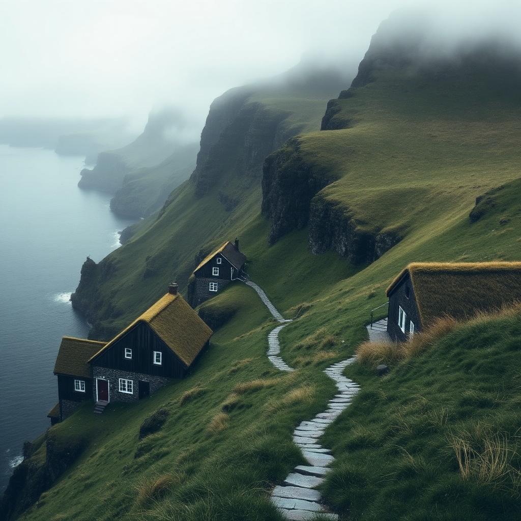
Before the first sub-sea road tunnels opened in the Faroes in 1963, villagers moved between settlements on foot, over grass paths that climbed the ridges between valleys. Some of those paths, called kongavegurin, the king's road, were the official mail routes. Almost all of them are still walkable, and a small number are now signposted with cairns. Walking one of them is the best way to understand a landscape that from the road feels almost too dramatic to be real.
Saksun to Tjørnuvík
The classic old-post path in the Faroes runs from Saksun, a hamlet at the head of a fjord that seals itself off at high tide, over a ridge to Tjørnuvík, on the north coast. It takes three to four hours. The path rises steeply for the first forty-five minutes, then levels onto a high grass plateau where sheep outnumber people by roughly a hundred to one. From the top of the ridge, when the fog lifts, you look down on the two great sea stacks of Risin og Kellingin, the Giant and the Witch, standing off the coast.
Start in Saksun. The bus from Tórshavn runs a few times a day in summer. From the small church, follow the fence line uphill to the northeast; the cairns start after about ten minutes. Bring a windproof shell even in July. The cloud comes and goes in minutes.
The final descent into Tjørnuvík is on a switchback grass path with loose scree. It is not technical but it is steep enough to want poles. Once in the village, a small café near the beach serves coffee and waffles, and the beach itself is a black-sand cove that faces north to the two sea stacks.
Slættaratindur and the roof of the country
The highest point of the Faroes is Slættaratindur, at 880 meters, on the island of Eysturoy. It is not an old post path but it is the natural extension of a Faroese walking trip, and on a clear summer evening the ascent is one of the few in northern Europe from which you can see the sunset and the sunrise together on the same night.
Park at the small pull-off on the road between Gjógv and Eiði. The path is not technical but is entirely unmarked; use a GPS track. Give the climb three hours up and two down, and check the wind forecast; above six hundred meters the wind can push a person over.
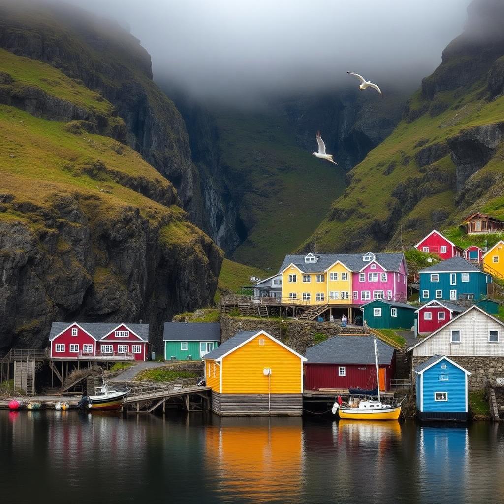
Descend back to Gjógv for the night. The village is arranged around a natural rock gorge that serves as its harbor, and the Gjáargarður guesthouse serves a plain, warm dinner in a low-beam dining room that fills mostly with walkers.
Sandoy and the empty south
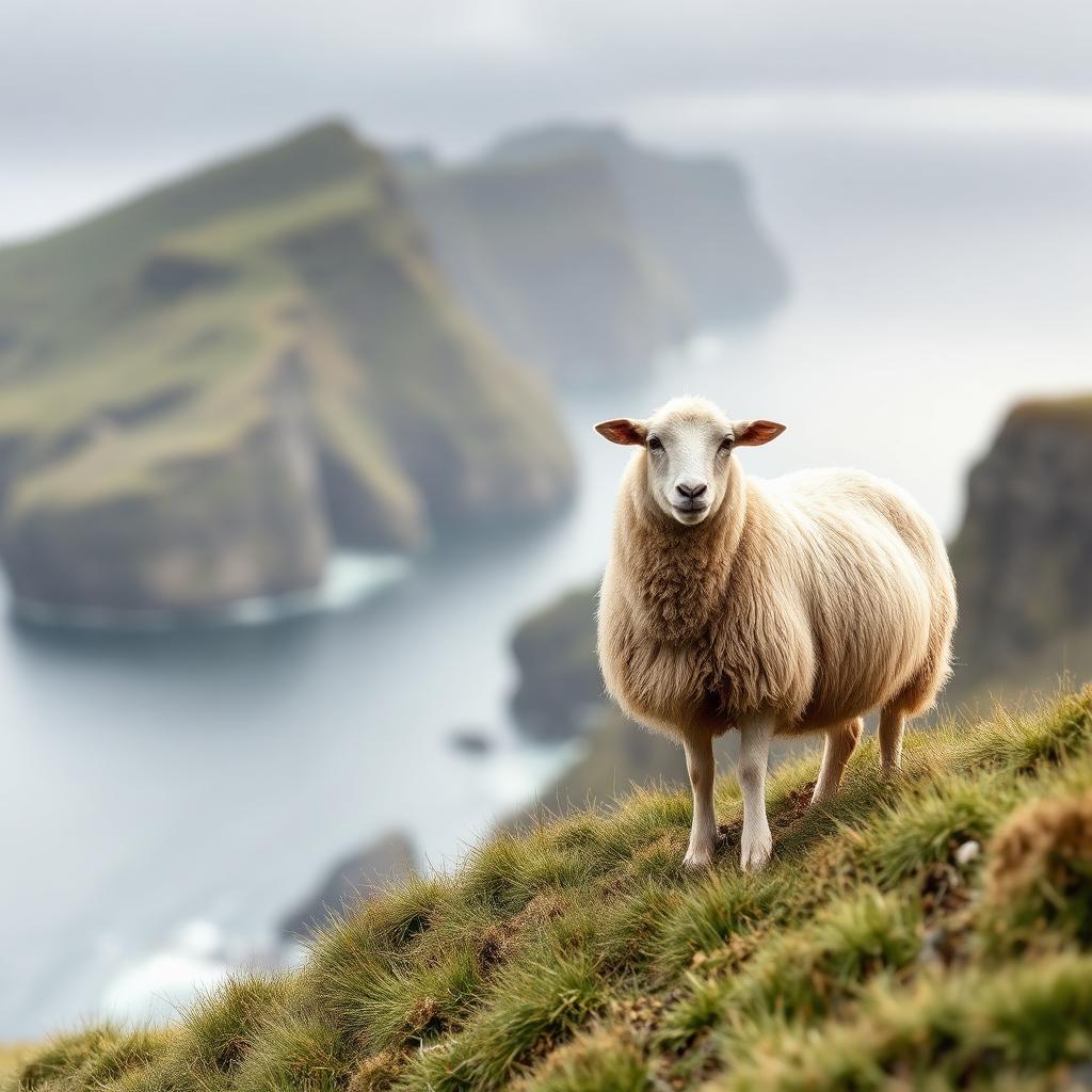
For an even quieter day, take the ferry from Gamlarætt to Sandoy, the flattest of the main islands. The old path from Skálavík to Húsavík crosses the island south to north in about three hours, past small freshwater lakes, coastal cliffs full of nesting fulmars, and one long stretch of empty grass moor with nothing but sheep in every direction. On a summer weekday you will meet no one.
The new sub-sea tunnel from Streymoy to Sandoy opened at the end of 2023, so day trips are now easy. Rent a car in Tórshavn and drive across. Bring lunch and water; there are no shops on the walk itself.
Practical notes
- The best window is mid-June to mid-August. Outside those months the paths are wet, cold and sometimes impassable.
- Landowners in the Faroes allow foot access on marked paths only. Stay on the cairned route.
- Cell coverage on the ridges is unreliable. Download offline maps.
- The weather changes fast. Turn back if the visibility drops below one hundred meters.
The old post paths turn a set of dramatic islands into a country you can meet slowly, on foot, one ridge at a time. That is by far the best way to see the Faroes.