The Empty End of the Lycian Way
Walking the coast trail between Kaş and Adrasan, when the summer crowds are gone.
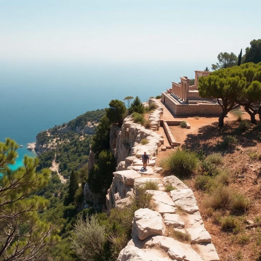
The Lycian Way is a five-hundred-and-forty-kilometer marked path along Turkey's south coast, from Fethiye in the west to Geyikbayırı in the east. Most people who walk it choose the first hundred kilometers, from Fethiye to Kaş. The eastern end, from Kaş to Adrasan and beyond, is less walked, harder in a good way, and includes some of the most striking coastal sections of the whole trail. Come in October, when the beaches are empty and the water is still warm, and it becomes one of the best long-distance walks in the Mediterranean.
The Kaş base and the first walking day
Base in Kaş for a night or two. The town is a former Greek fishing port, now a small resort, with a walkable center that includes the ancient Lycian rock tomb of the King Pericles, built directly into the harbor cliff. From Kaş, most walkers start east along the Çukurbağ peninsula and pick up the trail at Limanağzı, a small bay accessible by regular water taxi.
The first proper walking day runs from Limanağzı to Bayındır. It is a slow six hours through pine forest above cliffs, with several small pebble coves at sea level where the path drops down to a beach and climbs back up. Bring at least two liters of water; there are no springs on this section.
Sleep at the small pansiyon in Bayındır, run by a family that also grows olives and figs on the slope above the village. Dinner is included in the room rate and is a plain, generous set menu of village food.
Aperlai, the sunken city
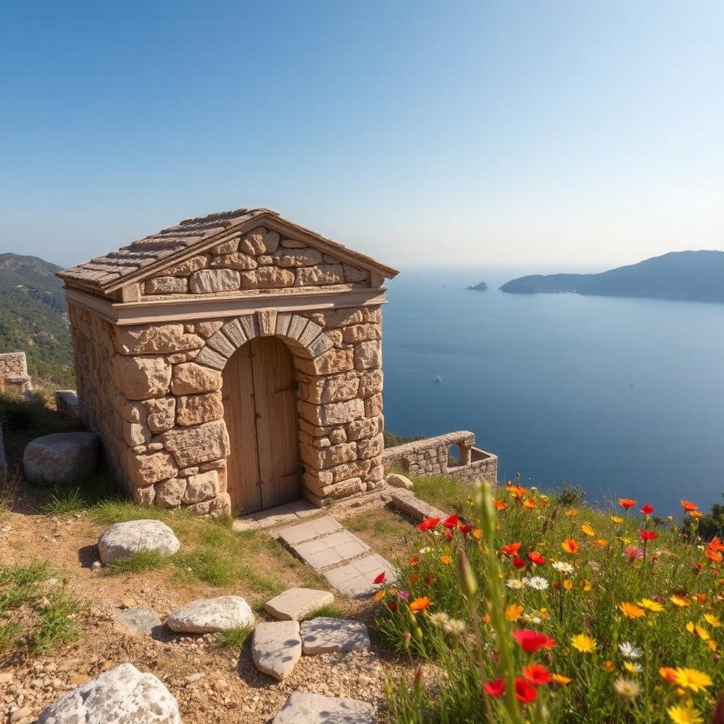
From Bayındır, the path continues east and inland, then drops back to the coast at Aperlai, a former Lycian port city partly submerged since a Byzantine-era earthquake. You can see house foundations and a paved street continuing into the shallows of the bay, and swimmers with masks report clear views of amphora shards on the sea floor.
The site is not fenced. There is no ticket office. There is one small cafe run out of the caretaker's house, and the caretaker will tell you the history in careful English if you buy a coffee. Sit on the stone wall by the water for an hour. Very few people come here.
Olimpos, the eternal flame, and the eastern finish
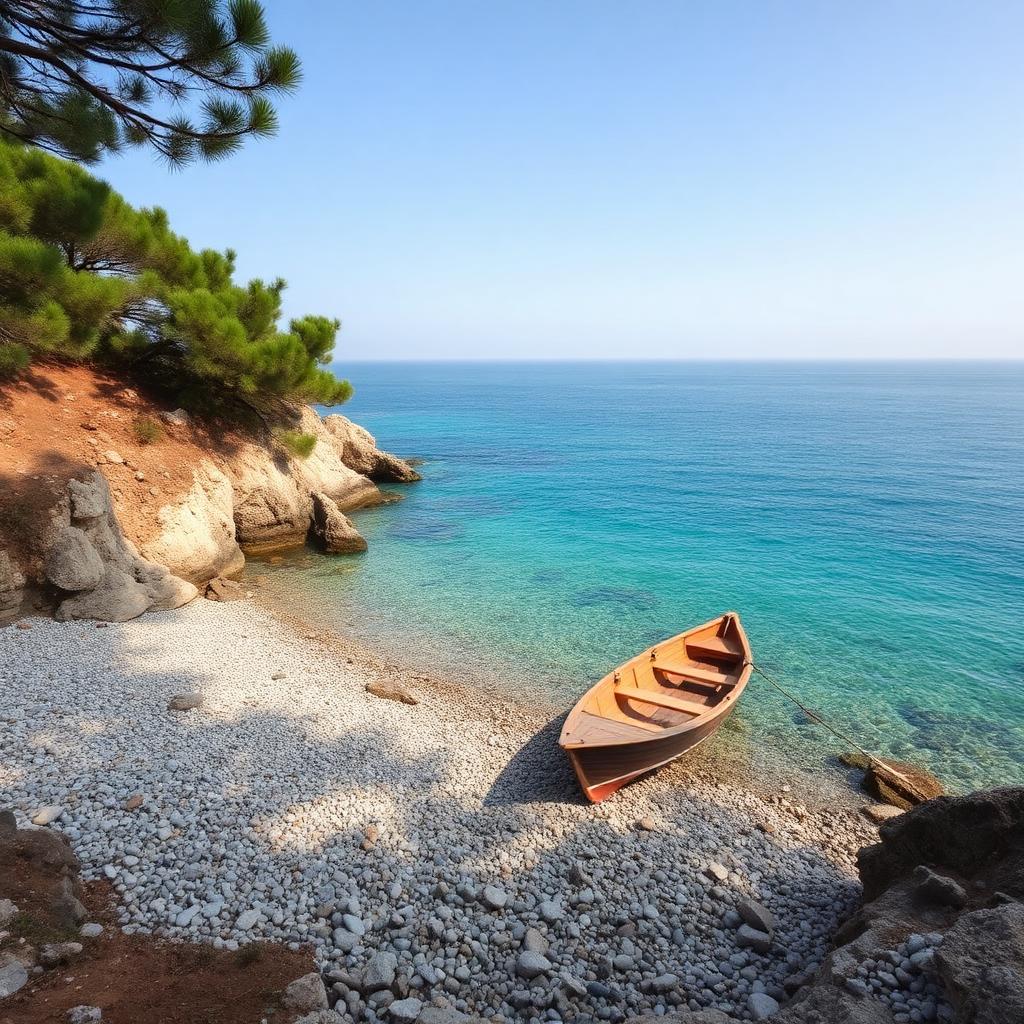
The classic end of an eastern Lycian Way walk is at Olimpos, an ancient site set in a river gorge that opens onto a long pebble beach. The ruins are unusually overgrown; walls and gateways rise out of the maquis, and the river itself, in autumn shallow enough to wade, runs through the middle of the archaeological zone. Simple treehouse accommodation in the neighboring village of Çıralı has been the classic backpacker choice since the 1990s; the treehouses are basic, food is included, and the beach is a five-minute walk from any of them.
From Olimpos, walk up the mountain at dusk to the Chimaera, a set of natural gas vents in the limestone slope that have been burning continuously since antiquity. The vents are behind an unstaffed ticket booth; drop the small fee into the box. On a moonless night the flames light the entire hillside, and the walk down in headtorches, past the ruins of a Byzantine chapel built to consecrate the fires, is one of the more memorable evenings you can arrange in southern Turkey.
Practical notes
- October and April are the best months. July and August are too hot for long days on the path.
- The trail is well marked with red-and-white stripes, but a GPS track is essential in the more overgrown sections.
- Village pansiyons rarely take card. Bring lira in small notes.
- Do not walk on Sunday in October; the local mid-day traffic on trail-crossing dirt roads is heavier than expected due to weekend visitors.
The eastern Lycian Way is the version of a Mediterranean coast walk that Europe promised and mostly does not deliver anymore. Give it a week, sleep in the pansiyons, and finish at the Chimaera.